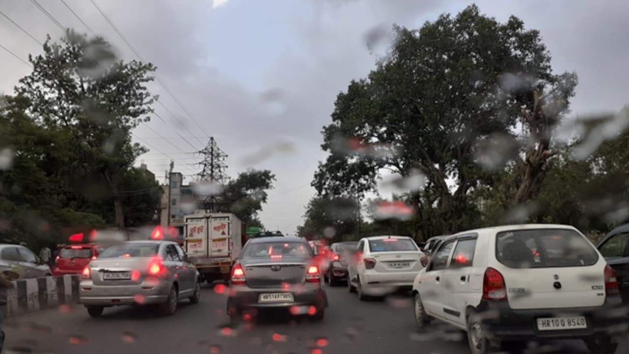
Over the past couple of months, there has been a lot of chatter around the monsoon. Even before India received its first spell, there was immense concern about rainfall levels potentially falling short owing to atmospheric conditions. For those tracking rainfall levels, August 2026 came as a sweet surprise, ushering in heavy rainfall within its first week. In fact, the national capital breached records and crossed August’s average monthly rainfall in just the first eight days of the month. The accumulation left the city inundated with waterlogging, traffic jams, and blocked roads. The rainfall, according to the IMD, was historic, marking the wettest first week of August since 2011. With red alerts issued for the national capital and neighbouring areas, rainfall lashed across more than 12 states, dampening deficit concerns and reviving hopes of abundant rainfall. At present, the rainfall has slowed down, with no significant warnings issued for the national capital.
Overall, as monsoon rains pick up momentum across India, agricultural activities are witnessing a noticeable recovery after an initial slow start. However, uneven rainfall distribution and emerging global climate patterns present a mixed outlook for the current Kharif cropping season.
Rainfall Deficit
The India Meteorological Department (IMD) reports that widespread monsoon activity has steadily brought down the nation’s cumulative rainfall deficit to 11 per cent. This revival in precipitation directly benefited Kharif crop sowing, leading to a significant narrowing in acreage shortfalls.
According to the Ministry of Agriculture, as of August 7, the deficit in Kharif crop sowing across the country has reduced to 17.96 lakh hectares. As of July 24, the sowing of key crops during the Kharif season was lower by 38.82 lakh hectares (a 4.70 per cent decline) compared to last year. Over the past two weeks, the shortfall in the sowing area of major pulse crops dropped to just 1.95 lakh hectares, down from a gap of 6.90 lakh hectares (a 7.54 per cent decline) recorded as of July 24 compared to last year.
However, during this same period, the sowing area for rice and oilseed crops lagged further behind compared to last year. As of August 7, rice sowing was down by 15.90 lakh hectares compared to last year, while the shortfall in oilseeds sowing widened from 3.45 lakh hectares as of July 24 to 5.19 lakh hectares by August 7.
Upcoming low-pressure systems forming over the Bay of Bengal are expected to bring heavy rainfall to central, western, and eastern regions, helping further bridge the nationwide water gap.
India’s Worry Points
While parts of central and northwestern India have seen substantial rain recovery, regions across East and Northeast India-along with parts of Southern Peninsular India-have experienced persistent rainfall shortfalls. While regional sub-divisions in East and Northeast India recorded rainfall shortfalls,, the cumulative deficit for the entire East and Northeast region stood at 25.5 per cent below normal making it the highest in the country. This statistic is crucial because it directly impacts rain-fed crops. This may even come as a surprise to some, given that parts of the Northeast were engulfed by severe floods this year.
The rainfall deficit has directly impacted water-intensive crops like rice, which depend on abundant early-season water. Thus, a deficit in key agricultural belts accounts for the bulk of the remaining national rice acreage lag. Experts hope for a recovery in August, especially in eastern belts, to help bridge the deficit and pave the way toward meeting Kharif production targets.
El Nino Concerns Loom Large
Despite the short-term monsoon relief, a long-term climate projection from the World Meteorological Organisation (WMO) points out risks for India, especially during the August-October season, due to a developing El Nino.
The WMO’s Global Seasonal Climate Update cautions against drought risks and drier-than-normal conditions. The forecast hints at the probability of drier-than-normal weather across the Indian subcontinent, characteristic of strong El Nino cycles. The forecast also warns of an overwhelmingly high likelihood of above-average land temperatures, threatening crop yields through severe heat stress. The WMO states that a positive Indian Ocean Dipole (IOD)-where the western Indian Ocean warms relative to the eastern side-is forming alongside El Nino, creating complex oceanic drivers that can amplify drought conditions across South Asia.
Speaking on the update, UN Secretary-General Antonio Guterres said, “El Nino is not just on our doorstep – it is inside the house and turning up the heat. And this is only a warm-up act. El Nino is strengthening – adding fuel to a planet already on fire with scorching heat domes, apocalyptic wildfires, and record hot seas.” WMO Secretary-General Celeste Saulo emphasized that these early seasonal updates provide governments and agricultural planners a vital window of opportunity to implement drought-preparedness, water management, and heat-mitigation strategies before severe climate impacts unfold.